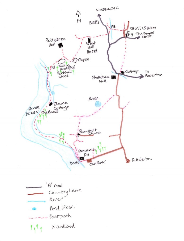
A Walk from Shottisham to Ramsholt (and Back)

Like the River Deben itself, this walk is one of two parts: from dry pastoral uplands to the salty, tidal marshes and mudflats. Start in the tiny village of Shottisham, a place where time has stood still; a cluster of cottages nestle around the picturesque Sorrel Horse pub, a path leads up to St Margaret’s church, and a playground. There is a white weatherboarded watermill set Constable-like amongst trees, and all this is surrounded by cornfields and pastures. The village captures the essence of Ronald Blythe, as it settles in a landscape that recalls the horse-drawn plough of George Ewart Evans.

Continue reading

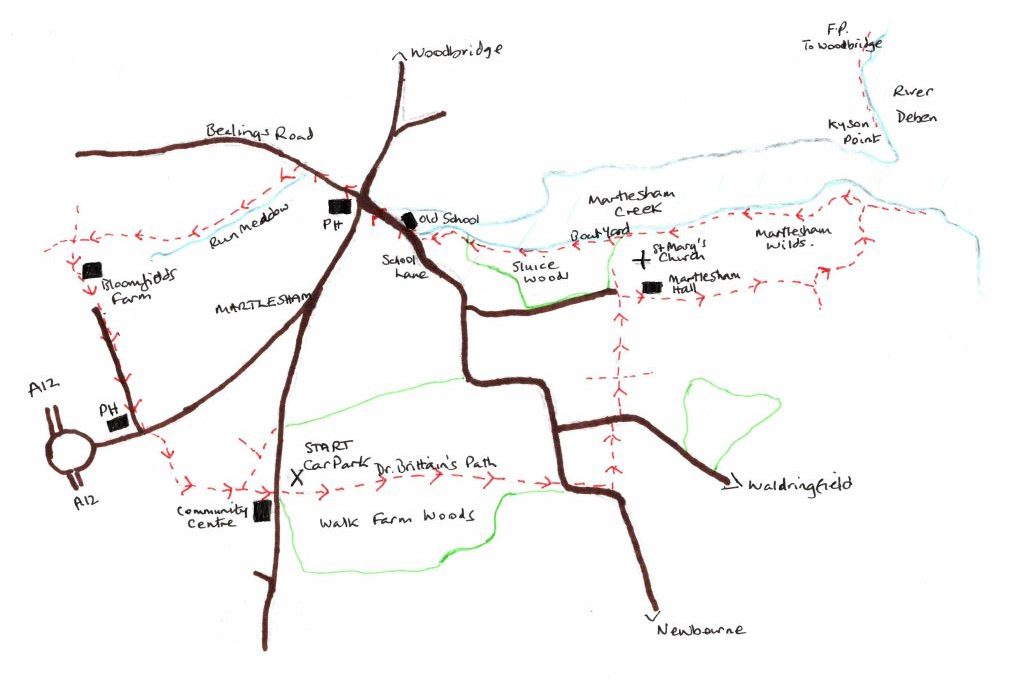
Martlesham Walk

By Sue Ryder Richardson

Map. OS Explorer 197. Map reference: 250462

What3Words: ///widget.depending.sourcing

Distance: 5.25 miles

Refreshments: The Red Lion and Black Tiles, Martlesham

Click to Download Map

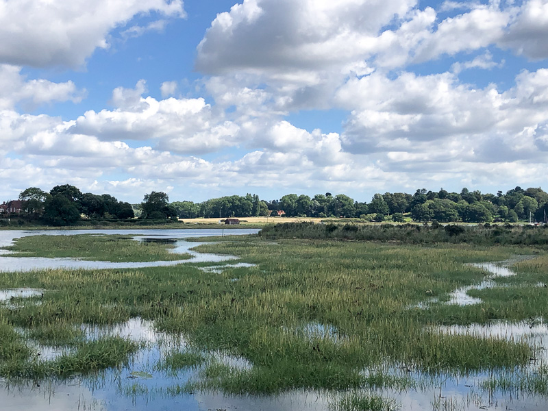
Whatever the season this walk is beautiful. On a cold winter’s day when there is a crispness to the air, the marsh can prickle with frost and the river, with its mud ridges and shallows, has a sharp clarity. The air echoes with the cries of birds, and waders impervious to the temperature, strut and pick at the banks. This time we walked in late summer and Walk Farm Woods at the outset offered welcome shade as we wandered through its chiaroscuro of light. Too early for mushrooms, or the turning of deciduous leaf, but both poised to promise autumnal glory in the weeks to come.

Over the Saltings

Continue reading

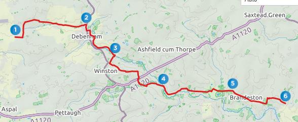
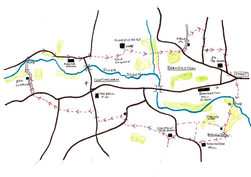
A walk through the landscape of the Upper Deben Valley – Brandeston, Monewden and Cretingham

By Sue Ryder-Richardson

Download Walk

Map: OS Explorer 212 TM 251604. Start: Bridleway on Kettleburgh Road at east end of Brandeston village. Distance approx 6.5 miles.

The Upper Deben Valley in August 2022 is biscuit dry. The small rills, the source of this beautiful river above Debenham, are dried, fords and water splashes empty, yet further downstream in the heart of the farming countryside of Brandeston*, Cretingham, Monewden, as if by magic, the Deben has gathered some water, and flows gently through its green, tree lined valley.

Continue reading

A Ramble around Wickham Market and Campsea Ashe

By Sue Ryder-Richardson

Rivers. The lifeblood of communities for generations, the Deben, from source to mouth, is one such. The river and its tributaries nurtured villages, gave grist to many mills, and fed and watered the all-important abbeys. Explorations around Wickham Market have revealed Paleolithic, Bronze Age, Roman, Anglo Saxon, and medieval relics. Both the tidal flood of this river and its inland arteries have supported this lineage of settlements.

A ramble around Wickham Market and Campsea Ashe [1] offers an insight into the generations that have lived, and worked alongside the Deben, from the C18th Rackham’s Mill, through the ancient, coppiced woodland ‘The Oaks’, alongside medieval fishponds, beside ‘Ashe Abbey’ which stands on the ground of the C12th Augustinian Priory of St Mary’s, but mostly walking over water-meadows that have brimmed and supported life for centuries.

Continue reading

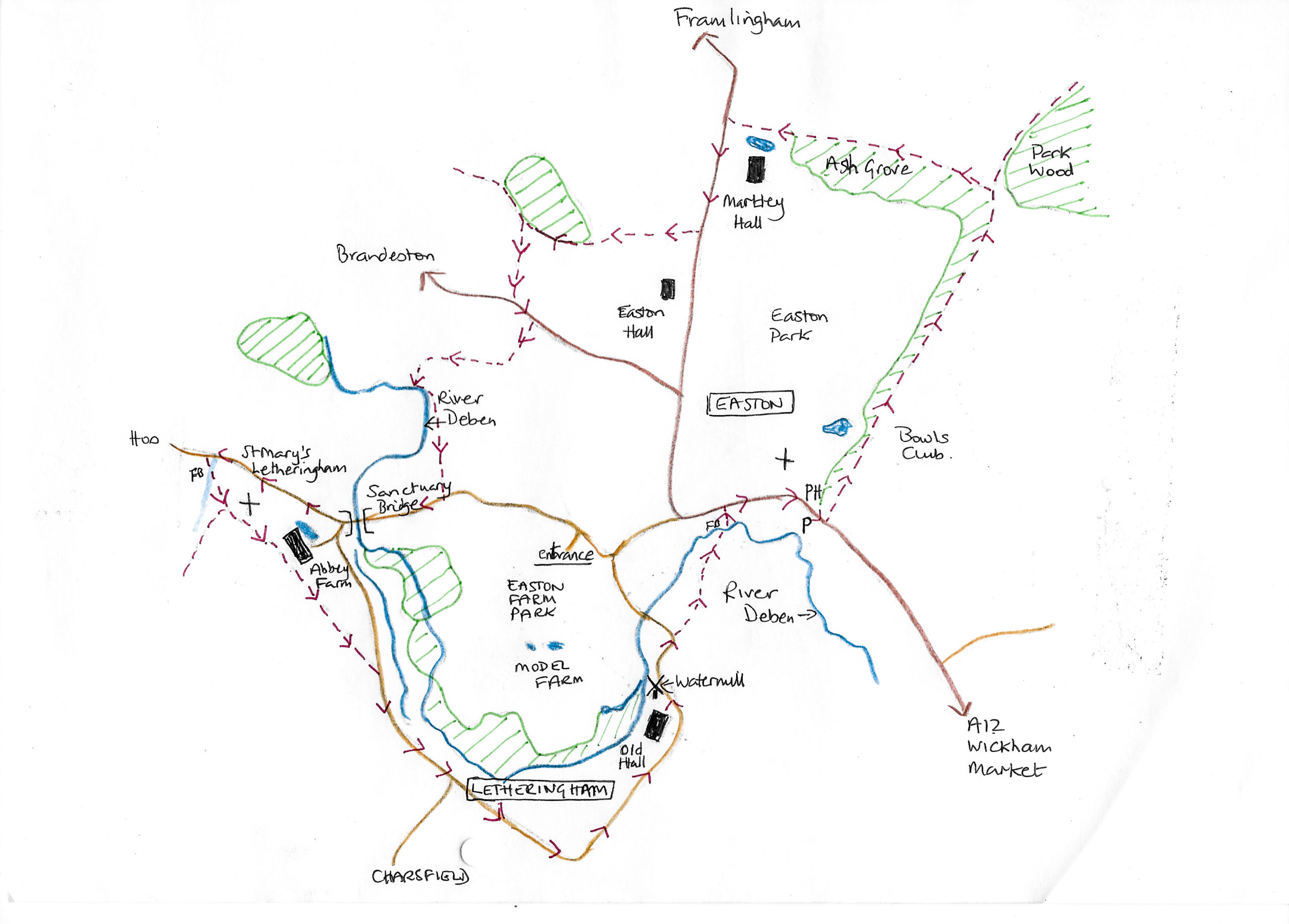
An historical walk around Easton and Letheringham In the Deben Valley

By Sue Ryder Richardson

Beyond its tidal reaches, the Deben meanders through ancient villages, beside grazed water meadows, and land that has been farmed for centuries. This water has brought wealth, has succoured communities, has driven the wheels of watermills, and in its workaday practicality enabled the establishment of several ecclesiastical centres along its banks.

Continue reading