By Sue Ryder Richardson
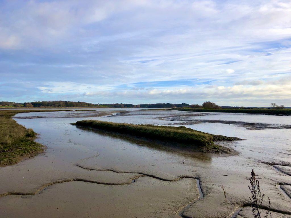
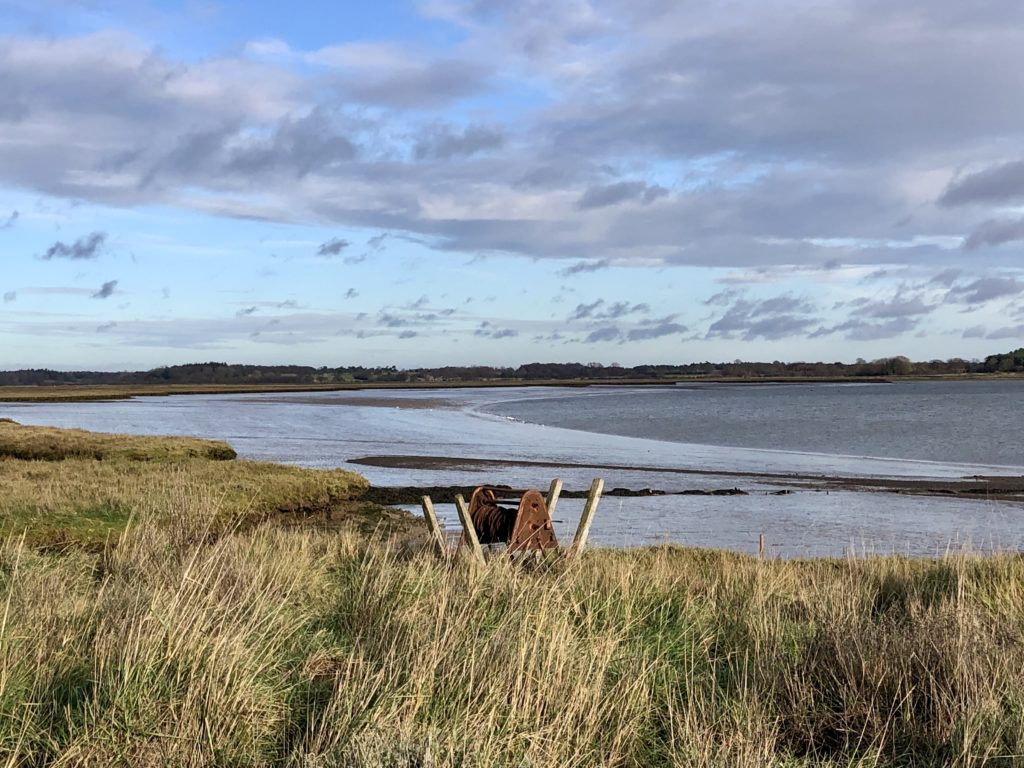 Looking towards Waldringfield from Hemley.
Walked in that no-mans-land of time ‘twixt Christmas and New Year, when weather can be as tiresome as the turkey left-overs, but on this day the sun shone, the west wind blew sharply into our faces, the dogs ran, and the tide was low.
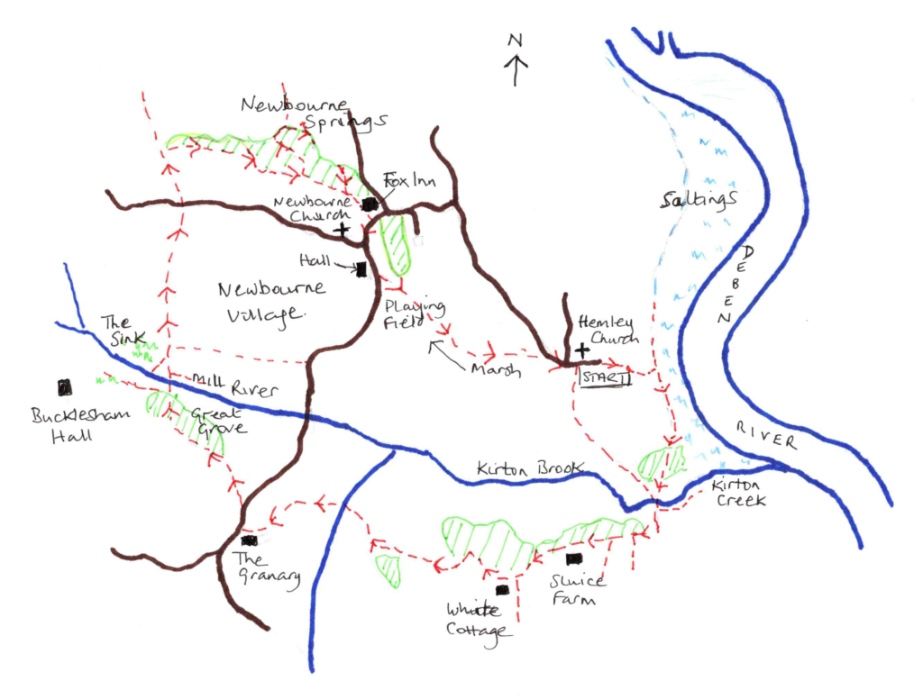
We started at Hemley Church (OS Ref: 286424). The road became a track passing through a small cluster of houses and a farm before heading downhill towards the Deben. Clearly signed, it wound through bramble banks to reach the river wall, where we turned right. A left turn would in the past have taken you to Waldringfield, but latterly the tides have eaten away the path, leaving it a quagmire of river mud and so has been closed.
Our route fairs little better. Wear boots and check there is no risk of a spring tide for the narrow track wanders through the saltings, rising occasionally over tussocks of reeds and grasses. Small runs lead down to the water’s edge, and everywhere there are birds, wheeling in the sky, standing single legged in the shallows, pecking at the worms and shellfish buried in the mud.
Kirton Creek mudbanks.
The tide was at its lowest when we reached Kirton Creek. The path slipping alongside the landscape of mudbanks, tinted blue and purple by the sky above, and peppered with a myriad of waders, making the landscape an animated fabric of light and life shifting gently over the undulations. The Kirton itself a mere trickle weaving amidst the hummocks of mud on its way to the mother river.
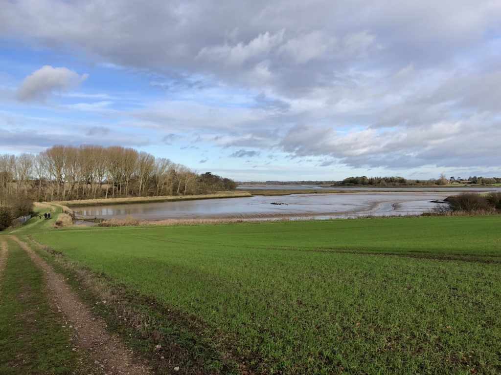
Steep steps take the path up to the river wall, then across a narrow causeway over the Kirton brook. Keep ahead on the track up the ridge away from the river, at the summit turn right and keep on through Sluice Farm, ignoring the two footpaths that turn to the left. The track passes by woodland alive with pheasants, then on reaching White Cottage keep ahead on the bridleway to the right of the house.
View from ridge above Kirton Creek.
This narrow path swings through a hedge to join a track that winds sharply downhill, passing Low Wood. There are a surprising number of hills for a Suffolk riverside ramble: small ascents and descents through the sandy landscape. Keep to the bridleway as it takes a right before descending downhill past Broom Hill Cottage and over Kirton Brook. We watched from the water-meadows as a heron languorously lifted its wings and took off in effortless wide sweeps over the valley. From the bridge continue up hill to reach the small lane at The Granary. Turn right and shortly after the road bears right take the well-marked footpath left down a track, there is a shortcut for walkers straight ahead as the track turns left, over a wooden footbridge, to meet the route on the further side. Keep to the sandy path as it climbs beside Great Grove wood, then bears right to cut through the trees and on down a steep hill to the Mill River.
Once over the river there are many paths, our intention was to take a path left and head towards Bucklesham Hall, the land however, had other ideas. A hint of this lay in the map. The footpath crosses a meadow named ‘The Sink’, and sink it was. A flatlands of marram grass and bog, and despite being well booted, wisdom prevailed, and we continued ahead along a narrow path between fencing towards houses.
The route follows a straight path alongside fields behind Newbourne village. Once across the small lane, continue ahead and take the first footpath right after a descent towards the Nature Reserve. Sadly, the first part through the alders and willows is narrow and harshly fenced, it felt an unnecessary intrusion in this rural landscape. The caravan park to the right scarcely seemed vulnerable, but they may know otherwise. But it was worth persevering and once up some steep steps a small track reaches the Nature Reserve.
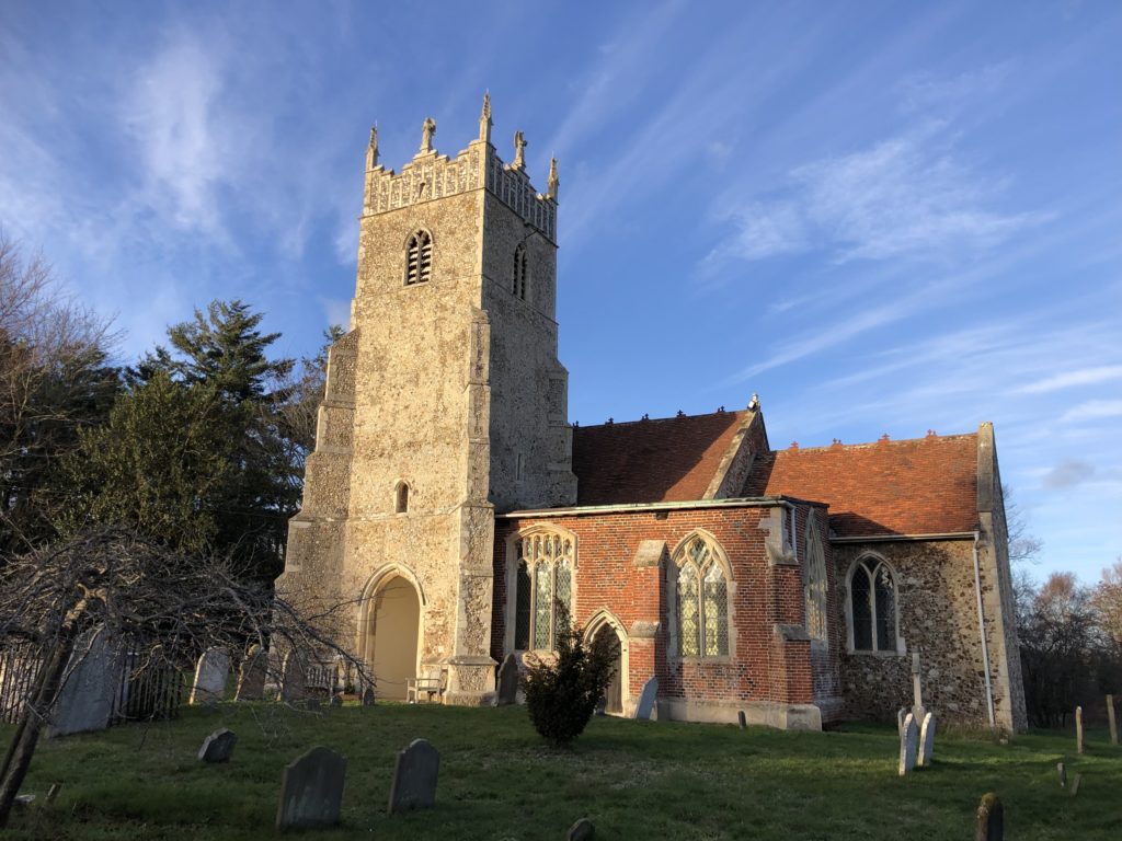
Newbourne Church.
Newbourne Springs — designated SSSI managed by Suffolk Wildlife Trust — is a delight and certainly worth a detour. Even in the depths of an English winter it was charming. Alongside the path were the eager leaves of early primroses, so by March it will be filled with flowers: primroses, dogs’ mercury, celandines, catkins. Further on, as the boardwalk circuit turns, beyond the foxglove whorls that grace the path, the ‘Springs’ become apparent, and we watched as the waters bubbled up to become a small stream. Shortly after, take a gate that leads over a water meadow. Turn left onto a track to reach Newbourne Village. The Fox Inn with its delicious food is a very welcome sight.
Newbourne Village itself is worth a mention. Like many of the small villages and hamlets along the banks of the Deben, its importance will have been far greater when the river was a great thoroughfare for traffic and goods. It is recorded in the Domesday Book, but by 1881 the population had fallen to 141, and by 1931 scarcely existed with only 81 registered. In 1934 it was part of the experimental Land Settlement Association scheme, whereby unemployed from northern industrial areas could apply for agricultural training and in return were given a smallholding and livestock. Newbourne remains a centre for nurseries and smallholdings, although these are decreasing.
The grade 1 listed St Mary’s Church is medieval in origin with the nave and chancel dating back to the C12th. Perhaps most intriguing are the graves of two brothers, George and Meadows Page, known as the Newbourne Giants at 7 ft 7 and 7 ft 4 respectively, they lived in Giants Cottage next to the Fox Inn and were part of a travelling circus. We can only imagine what that might have meant.
Returning to the walk. Turn right from the Fox Inn and follow the road ahead round the left-hand corner, allowing time to take the side road to the church. Pass the C14th Newbourne Hall on the right and then take the signed footpath left alongside the village hall, over the playing fields, descend to the boardwalk across a marsh. Keep ahead up a sharp rise and keep to the path towards Hemley church, turning right onto the lane. Hemley church is worth a quick visit to look at the font, the history of the sporting parson – John Waller, and the Tudor brick tower.
Total walk approx. 6.5 miles. Walked 28th December 2022.
Sue Ryder Richardson
Born in Suffolk, I have a great love for a county that I have explored on foot for as long as I can remember. Slow travel lets me enjoy the landscape; savour its history, flora and fauna. After many years of the London commute, it is such a pleasure to be able to write walks for publication, as well other pieces. Currently I’m interested in the future development of the ‘Slow Ways’ initiative. https://slowways.uk/

